Places Past

One enigmatic postcard album is my companion for the next three weeks. Pages of rare black & white photos tell of people, places, and property, but with scant details of who they are, where they are, or what is happening. The past is present in these images, but not at all reliable.

It may seem too obvious to point out, but postcards move around over time. Cherished memories first organized in a new, handsome album sit in the front room for a decade or more before migrating to a study drawer, a garage, or a dusty attic.

If the album is later unearthed or given away, a collector might save it as an artifact of a bygone time. Or, they could pull it apart (mercilessly) to be sorted again into categories by geography or historical era.

After one collector is gone, the sifting and sorting can be nonsensical and misleading. Storylines get separated, and suddenly history relies on little more than a few questionable clues.

Landscapes get lost first, along with the creatures that inhabit them. The wolf, the moose, the fawn, and the prairie dogs in the snow were known only briefly to the soul who got the shot. To us, they are familiar ghosts.

And, what about the trees, the lakes, the frozen road, and the sandstone tunnel? I know they were likely loved in their day. Still there? Maybe. The tunnel could elicit some belabored guesswork. But, why?

I’ll be walking in the trees quite a bit in the next three weeks, taking pictures that I will share liberally on social media and won’t label properly. I doubt it would bother you. After a century or so, we can live with anonymous scenery and abstract wildlife. A picture can lose its place.

But, there is a certain creative tension ahead when it comes to people and property. The desire for a real story gets stronger, to find the ‘where’ there. Who are they, and what can they say about us now? Despite the lack of evidence, we can’t help searching. Stay tuned.

All of the Above

Words to heed and repeat, and a life’s work to regard.

George Washington Carver Educational Postcard

This vintage educational postcard (likely printed in the mid-1960s) features quotations from agricultural scientist George Washington Carver (1864-1943), displayed on an exhibit at George Washington Carver National Monument. The card presents Carver’s thoughts on success, preparation, and nature alongside his portrait. Carver, born into slavery, became a prominent botanist and inventor who developed hundreds of uses for crops like peanuts and sweet potatoes while teaching at Tuskegee Institute for 47 years.

I love to think of nature as an unlimited broadcasting system, through which God speaks to us every hour, if we will only tune in. — George Washington Carver

The George Washington Carver National Monument, established in 1943 near Diamond, Missouri, was the first U.S. national monument dedicated to an African American. Located at Carver’s birthplace, it preserves his legacy and the 1881 Moses Carver house where he lived as a child. The National Park Service now manages the 240-acre nature preserve and historic site.

To Read More:

• National Park Service – George Washington Carver National Monument: https://www.nps.gov/gwca/

• Tuskegee University Archives – George Washington Carver Collection: https://www.tuskegee.edu/

• Smithsonian National Museum of American History – George Washington Carver: https://americanhistory.si.edu/

• Library of Congress – George Washington Carver: https://www.loc.gov/

• Iowa State University – George Washington Carver Papers: https://www.library.iastate.edu/

Call for Submissions Open Now!

The summer slow-down is coming to a close, and The Posted Past is launching into a new phase as a social enterprise. On Wednesdays, you’ll still receive a weekly wander through postcard history, along with a new focus on rare cards, and a regular review of the art cards we receive at the World’s Smallest Artist Retreat (our P.O. Box). More inspiration as our circle expands. Wisdom, wisecracks, and butterfly wings. See you in September… next week!

Both/And

Sweet readers, this is your pre-preview of something very fresh, and a long time coming…

Hold a vintage postcard in your hand and flip it front to back.

On the front, usually an idealized world. Sun-drenched beaches, pristine mountain vistas, city streets captured at their most photogenic moments. Designed to say, “Wish you were here!”

Flip it over, and you find something entirely different. The back reveals the personal, the quixotic, sometimes the magically mundane.

“Weather awful, hotel terrible, a bit bothered by a smelly seatmate on the plane, but having a wonderful time anyway.”

Postcards fascinate me precisely because they embody all of life. They’re both public and personal, both idealized and achingly real. They bring the past forward in time, making unexpected connections with family, friends, and special places—revealing who we have been along the way.

On a very old postcard, the handwriting of someone long gone comes alive again right before our eyes. A jotted note gives us a new view into their private world. Their words leap over the decades to reach us. There is a lush creative commons between now and then, a liminal green lawn to lounge on and take in the cool air.

I have lived happily in those in-between spaces for the last few years. Somewhere in the middle of my life and career and enjoying myself in the meantime. Not where I was before, and both curious and terrified about what comes next.

Well friends, like the best summer novel, the plot thickens.

Starting in September, The Posted Past officially launches a new phase as a social enterprise, inspired by the simple truth that we can trade loneliness for connection, one postcard at a time.

We have already done it, friends!

As one of my earliest subscribers, you have enjoyed (I hope!) an essay every Wednesday for the last year. Going forward, you’ll still get those delightful diversions that remind us we are more than we knew. I’ll also offer sneak peeks at rare postcard finds, each one a small treasure with its own story to tell.

Digitally altered watercolor sketch by Anne L'Ecuyer of a red mesa on the back of a postcard with the words 'Hello" and "Yes You!" evocatively placed. A small lemon is painted where a stamp would go. The website www.postedpast.com is printed in the corner.
Old or new, postcards have a job to do.

Along the way, I have fallen in love with making and receiving Art Cards. My brother started mailing the lovely landscape watercolors he does when insomnia strikes. A collage free-for-all at the local gallery had me re-inspired by the ‘ransom note’ style I used to do as a teenager. Blink-blink… I found myself dreaming up fabulous cards to make.

Art cards celebrate the artist in all of us. I particularly love collage and watercolor, but truly an art card can be made with scraps. Sometimes the most satisfying work comes from simple gestures, too. Slow down enough to make something with your hands, and then send it away to make someone’s day.

Coming this fall, The Posted Past will feature an online gallery where you can browse through handmade artwork that has traveled across time and space, carrying all the marks of love, adventure, and everyday life. Call for submissions now open, mail your art card to: The Posted Past, P.O. Box 24431, Tempe, AZ 85285.

Abundance can be overwhelming, and it’s not always easy. Right now, I feel both confident and queasy. But, I’m not alone. Here’s how you can help.

  • Become a paid subscriber—hit the button below to support the effort
  • Pre-order an Art Card Collage Kit (coming soon!) for your own creative fun
  • Make an art card and send it to us—be first in the online gallery show!

Though we revel in real life, the handmade, and the historic, The Posted Past is also meant to be super social. Excuse our dust, and help us get started!

  • Like us on Facebook, Instagram, and Pinterest for daily inspiration
  • Track our growth on LinkedIn as we build momentum
  • Browse the collection of vintage postcards on eBay and follow the store

Both/and. Past and future. Solitude and connection. Cardboard curiosities and some larger-than-life dreams. Thank you for being here together. Keep an eye on your inbox and mailbox—September is full of surprises!

Island Time Travel

Native Hawaiian wisdom, mainland capitalism, an LDS mission, and the birth of Pacific tourism. At the center, a banyan tree that has watched Hawaii transform for 120 years. This 1921 real photo postcard reveals the complexities of cultural exchange, migration, and travel over time.

In the photograph we are looking at today, the Moana Hotel rises like a palace from Waikiki Beach, its elegant wings stretching toward Diamond Head. A wooden pier extends into the Pacific. The building’s Victorian details hint at mainland American grandeur transplanted to the tropics. The “First Lady of Waikiki” opened as the territory’s first luxury resort, transforming a landscape once dotted with taro ponds and royal summer homes into the birthplace of Pacific tourism.

Built by wealthy landowner Walter Chamberlain Peacock and designed by architect Oliver G. Traphagen, the Moana opened on March 11, 1901, with 75 rooms featuring Hawaii’s first electric elevator and the unique amenity of private bathrooms. The first guests were a group of Shriners, who paid $1.50 per night—about $50 today—to experience what was then a very remote luxury destination.

Three years later, Jared Smith, Director of the Department of Agriculture Experiment Station, planted what seemed like a simple landscaping choice in the hotel’s courtyard: a young Indian banyan tree, nearly seven feet tall and about seven years old when planted. In the image, the tree is seventeen years old and already creating the shaded sanctuary that is the hotel’s heart even today.

As we flip the postcard over, another dimension is revealed. On November 29, 1921, a simple message sent to Mabel Moss in Longanoxie, Kansas with the usual greetings. But this isn’t a holiday for Aunt Olive. Her return address, “Route 4 – Box 46,” tells its own story of how communities were connecting between ancient and modern, sacred and commercial.

A Mormon Pioneer’s Island Home

Aunt Olive likely lived in Laie, thirty-five miles north of the Moana Hotel, where the Mormon Church had established its Pacific sanctuary. Her Route 4 address would have been served by one of the Rural Free Delivery routes radiating out from Honolulu—a detail that places her among the settlers who were building new communities beyond the city’s tourist corridor.

The Mormon settlement at Laie represented a unique form of cultural encounter. Beginning in 1865, when Church president Brigham Young received permission from King Kamehameha V to establish an agricultural colony, the Latter-Day Saints purchased 6,000 acres of traditional land—a pie-shaped division that provided for sustainable living. The Mormon community tried to honor Hawaiian land practices, giving each family a loi (water garden) to cultivate kalo (taro), the traditional sustenance crop.

The Hawaii Temple, dedicated in 1919, was the first Mormon temple outside continental North America. Built with crushed local lava and coral, its structure embodied the meeting of mainland pioneer culture and Pacific Island materials. Polynesian Saints from across the Pacific were gathering in Laie to receive temple ordinances, creating a multicultural religious community where Hawaiian, Samoan, Maori, and haole (white) families lived side by side.

The LDS approach to missionary work emphasizes learning local languages and customs—not merely as conversion strategy, but as theological principle. One of the early missionaries mastered Hawaiian so thoroughly that he produced the first non-English translation of the Book of Mormon in 1855. The missionaries married into Hawaiian families, adopted local foods and farming methods, and incorporated Polynesian cultural elements into their worship. Even as they openly sought converts, they also saw themselves as students of Hawaiian wisdom.

Paradise Shared

Captured in our image are at least a few conflicting visions of paradise. The Moana Hotel itself represents economic prosperity through the commodification of tropical beauty. Its guests paid premium rates to experience “the ultimate playground,” complete with hula shows and exotic imagery designed for mainland consumption. By the time of this photo, the hotel’s success had already inspired expansion; wings added in 1918 doubled its capacity.

However, the hotel was built where Hawaiian royalty had once gathered, in a place that embodied the Native Hawaiian principles, very different than Western concepts of land as commodity, beauty as product, and culture as entertainment. Look again at the Banyan tree. Where tourists saw scenery, Native Hawaiians understood kino lau—the gods manifested in every plant, animal, and natural feature. But, Hawaiian language had been banned in schools since 1896, and traditional practices were actively discouraged as territorial authorities promoted “Americanization.”

The Mormon community at Laie offered a third way that, despite its evangelical aims, required genuine cultural engagement. Unlike tourists who consumed Hawaiian imagery, or territorial officials who suppressed Hawaiian practices, Mormon missionaries made learning local ways a theological priority. They understood that successful evangelism required fluency not just in Hawaiian language, but in Hawaiian concepts of kinship, land, and spirituality.

This approach created communities that were simultaneously foreign settlements and island adaptations—places where pioneer traditions mixed with Polynesian extended family structures, where American church hymns were sung in native dialects, and where temple architecture incorporated local materials and building techniques.

Time Travel

The tensions that were at work in 1921 continue today, but so do the possibilities for meaningful cultural exchange. Today’s mālama Hawaii movement invites travelers to participate in coral restoration, native forest planting, and beach cleanups. Visitors can learn about places like Waimea Valley, where ancient cultural sites are preserved alongside environmental restoration. The principle of pono—righteous action—guides travelers to maintain respectful distances from endangered monk seals and sea turtles, to support Native Hawaiian-owned businesses, and to understand that they are guests in a living culture, not a theme park.

The island time we seek now isn’t the vacation fantasy of escape from responsibility, but the deeper rhythm of understanding our place within larger cycles of care and connection. When we travel with curiosity rather than conquest, we discover that the most valuable treasures are the stories and perspectives we gather. Over time, we come to know that every place on Earth is someone’s sacred ground.

In Hawaiian tradition, banyan trees serve as gathering places for spirits, bridges between the physical and spiritual worlds. Perhaps this ancient wisdom explains why the Moana Hotel’s banyan courtyard remains a place of peace amid Waikiki’s transformation—a living reminder that some forms of growth honor rather than diminish what came before.


To Read More

Postcards, Presidents, and Perspectives

Gift shop postcards reveal how Americans get to know our presidents. Explore how pocket-sized portraits shape our understanding of leadership.

In the spring of 1865, Alexander Gardner made a series of photographs of Abraham Lincoln in a studio in Washington DC. Originally, the images were meant as source material for a later unremarkable oil portrait. Instead, one image would become a widely circulated presidential carte de visite (CDV, predecessor to the postcard) showing a contemplative Lincoln, his face bearing the weight of war.

This same series produced dozens of CDV variations, each emphasizing different aspects of Lincoln’s character – his determination, wisdom, and his ordinary humanity. These interpretations of presidential imagery etched his memory in time just after the assassination, have been reproduced in every decade since, and still shape our national memory today.

Consider how presidential postcards – those humble, democratic pieces of correspondence – have both reflected and shaped our understanding of presidential perspective and leadership. Looking at postcard collections from presidential libraries, let’s explore how these portable portraits reveal how certain leaders viewed the world and made decisions.

Memory Making in Presidential Libraries

The modern presidential library system began in 1939 when Franklin Roosevelt donated his papers to the federal government, establishing a revolutionary model for preserving presidential legacy. Before this, presidential papers were considered private property, often scattered, sold, or lost to history. Roosevelt’s innovation created a systematic approach to presidential preservation that transformed how Americans access their presidential past.

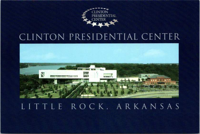
Today, fifteen presidential libraries, administered by the National Archives and Records Administration (NARA), serve multiple functions: archive, museum, research center, and public education facility. Each library manages large collections of documents, photographs, and artifacts, while their museums and visitor centers help interpret presidential legacies for millions annually.

These institutions also play a crucial role in postcard production and distribution. Their gift shops serve as primary retail outlets, while their archivists and curators help ensure historical accuracy in commemorative imagery. Tensions between history, educational mission, and commercial viability shape how presidential memory is packaged and sold.

Business of Memory

The story of presidential postcards is also the story of how American trades shape historical memory. In the late 19th century, innovations in printing technology coincided with the rise of mass tourism and the establishment of the postal service’s penny postcard rate. Companies like Curt Teich & Co. and the Detroit Publishing Company recognized an opportunity, creating catalogs of presidential imagery that would help standardize how Americans remember their leaders.

The economics were compelling: postcards could be produced for less than a cent, sold for 3-5 cents, and resold by retailers for 5-10 cents. This accessibility meant that average Americans could own and share pieces of presidential history. Later, the Presidential Libraries, the Smithsonian, and the National Park Service would become major distribution points, creating a government-private partnership in historical memory that continues today.

Postcard Power

Before diving into specific presidents, let’s remember why postcards matter. Unlike formal portraits or imposing statuary, postcards serve as intimate, portable connections to our leaders. Their very format – combining image with personal message, sold inexpensively and shared widely – makes them unique vehicles for democratic memory-making.

Consider the contrast: The Lincoln Memorial presents the 16th president as a marble deity, remote and perfect. But, period CDVs showed him in numerous human moments: reviewing troops, visiting battlefields, and playing with his sons. These cards, sold for pennies and passed hand to hand, helped Americans see their wartime leader as both extraordinary and approachable.

Lincoln: The Moral Realist

The Gardner series of photographs reveals Lincoln’s moral realist perspective in subtle ways. In one popular version, Lincoln’s gaze is directed slightly upward, suggesting moral vision, while his worn face acknowledges harsh realities. This duality perfectly captured Lincoln’s ability to hold fast to moral principles while grappling with very real human suffering.

Another influential series showed Lincoln visiting the Antietam battlefield. These cards, first published during the war and reprinted for decades after, highlighted his hands-on leadership style. One image shows him speaking with wounded soldiers from both sides – a visual representation of his “malice toward none” philosophy.

Theodore Roosevelt: The Progressive Naturalist

The postcards of Teddy Roosevelt present a striking contrast. The Detroit Publishing Company’s Yosemite series showed him with naturalist John Muir in various outdoor settings, emphasizing his connection to nature and physical vigor. These images perfectly aligned with his naturalistic-progressive worldview, which saw human advancement as part of natural evolution.

Perhaps most revealing were the Rough Rider postcards, mass-produced during and after his presidency. These action-oriented images showed Roosevelt leading charges, planning strategy, and bonding with his men. They captured his belief in the power of human will to shape both nature and society – a core tenet of his progressive philosophy.

Franklin Roosevelt: The Pragmatic Experimenter

FDR’s postcard imagery evolved significantly during his presidency, reflecting both personal and national transformation. Early cards showed him standing at podiums, emphasizing traditional presidential authority. But as the Depression deepened, a new style emerged.

Fireside Chat postcards, first released in 1933, showed Roosevelt in intimate settings, explaining complex policies to average Americans. These images matched the pragmatic instrumentalism they heard on the radio – his belief that truth and reality were tied to practical situations more than abstract principles.

The photographs from Warm Springs deserve special mention. While official imagery generally hid Roosevelt’s disability, these postcards showed him in the therapeutic pools, working to strengthen his legs. They humanized him while demonstrating his experimental, solution-oriented approach to problems, both personal and political.

Kennedy: The Dynamic Optimist

The Kennedy era revolutionized presidential imagery. Color photos from Hyannis Port show the president sailing or playing with his children, emphasizing youth and vitality. But more telling were the Space Race postcards, which showed Kennedy studying rocket models or meeting with astronauts. These captured his perspective of historical dynamism – his belief that reality itself was expandable through human initiative and technological advancement.

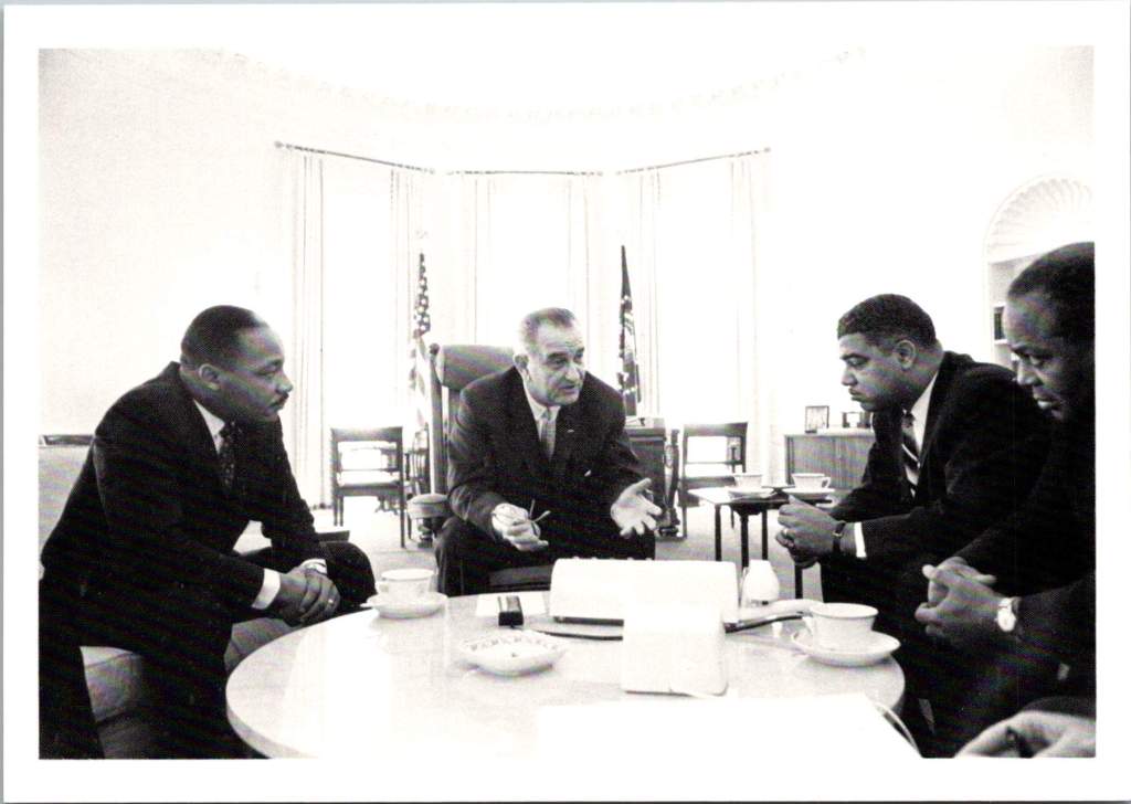
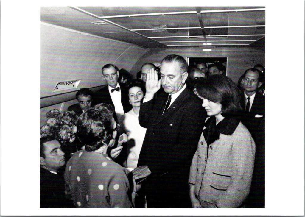
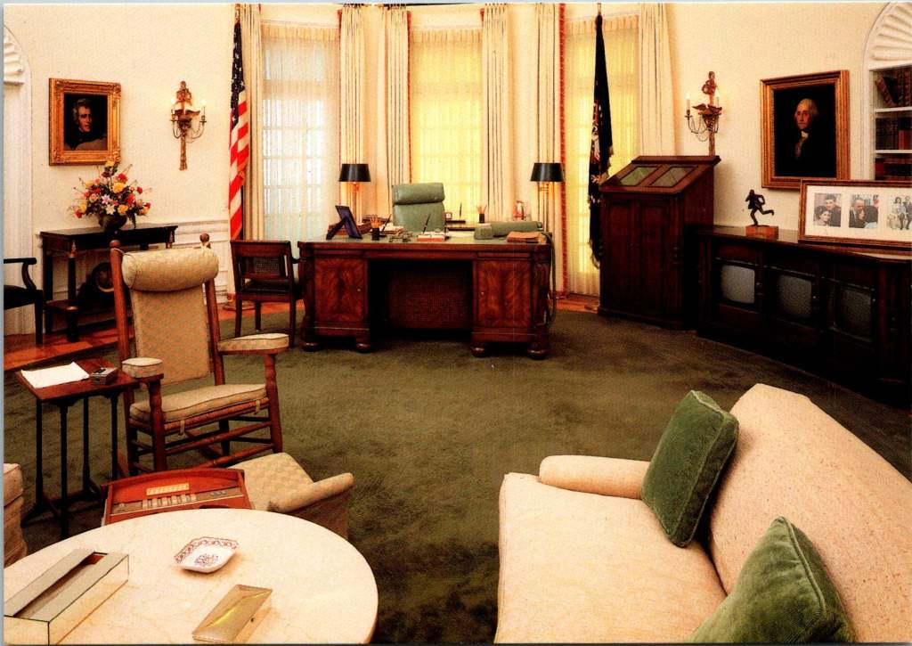
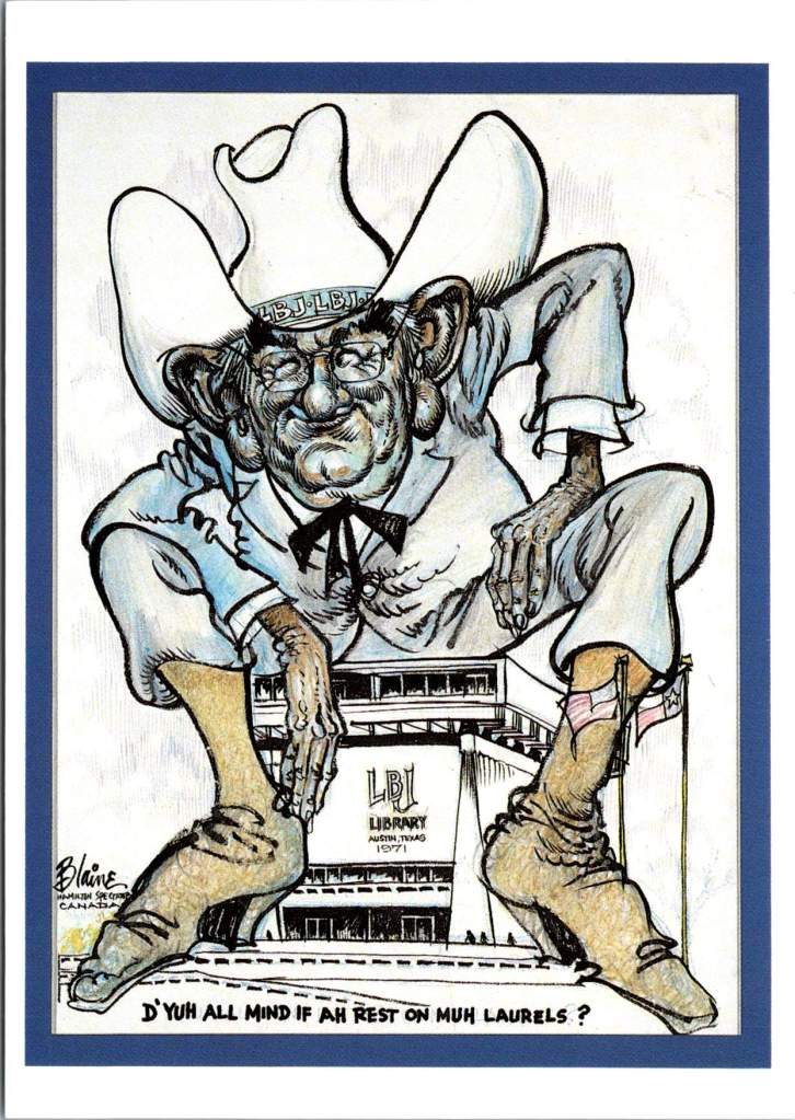
LBJ: Larger than Life

The LBJ Library’s postcard collection reveals another perspective entirely, showing Johnson’s complex relationship with power and persuasion. The collection captures Johnson in intimate conversations with civil rights leaders and in passionate speeches about poverty, reflecting his hands-on, domineering approach to domestic reform.

Carter: The Moral Engineer

Jimmy Carter’s postcard imagery often puzzled publishers. How to capture a president who combined technical expertise with moral conviction? The “Carter and Farmers” card showed him inspecting crops, and another shows him in front of solar panels on the White House roof. These images captured his unique moral-engineering perspective – his belief that problems required both technical solutions and ethical frameworks.

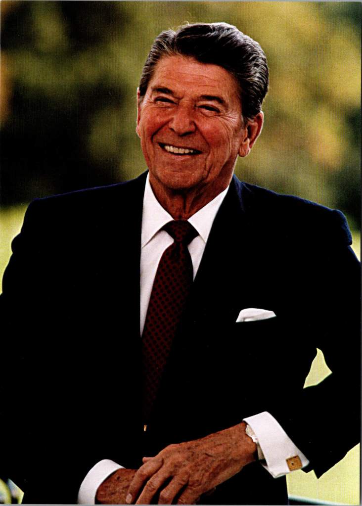
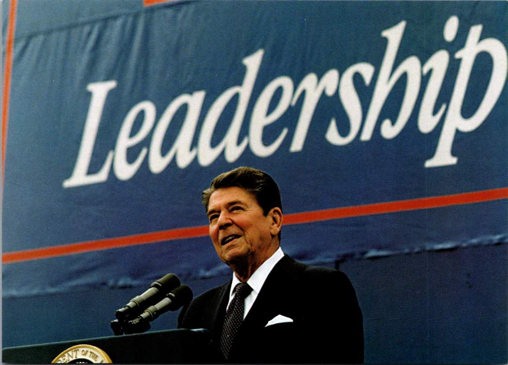
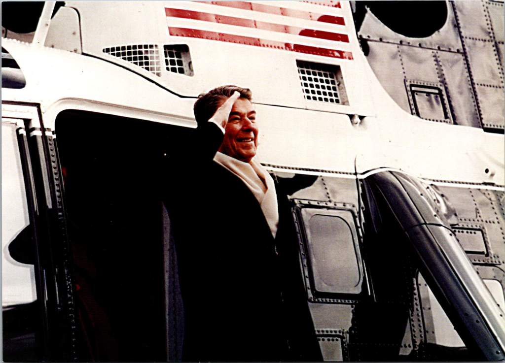
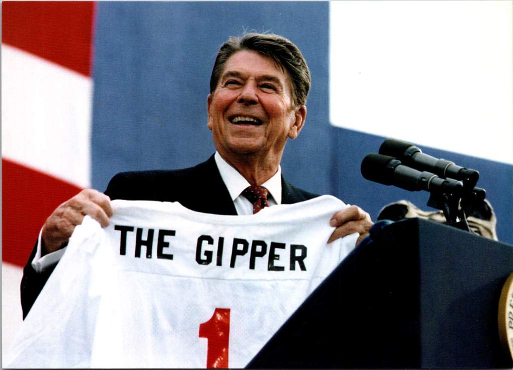
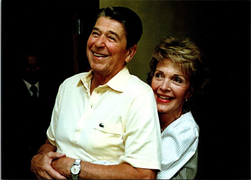
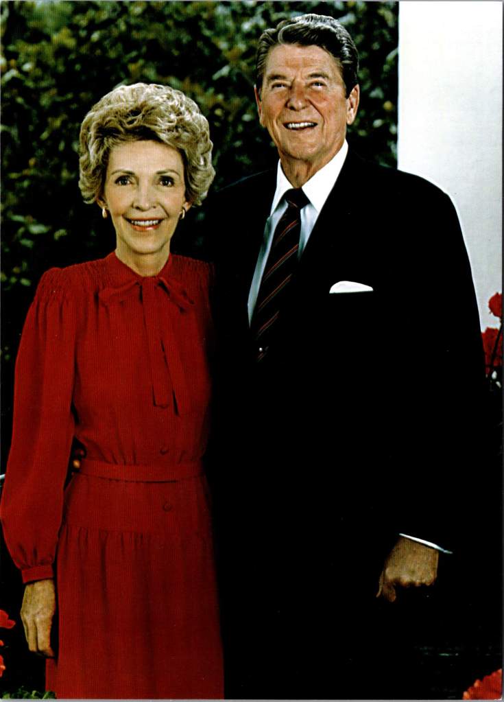
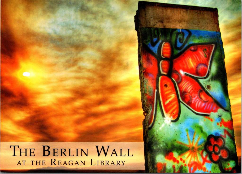
Reagan: The Moral Dualist

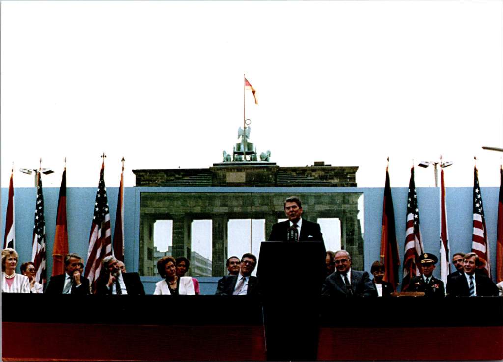
The Reagan Library’s postcard collections reflect his clear moral dualist worldview. The famous Brandenburg Gate series shows Reagan from multiple angles as he challenges Gorbachev to “tear down this wall.” These images emphasize his belief in clear moral absolutes – freedom versus tyranny, good versus evil.

Reagan’s unique gift for communication amplified the impact of these postcards. His ability to speak in accessible language while conveying profound ideas meant that the images resonated deeply with the public. When he spoke of America as a “shining city on a hill” or called the Soviet Union an “evil empire,” these phrases became powerful captions for postcard imagery, blending visual and verbal memory in the public mind.

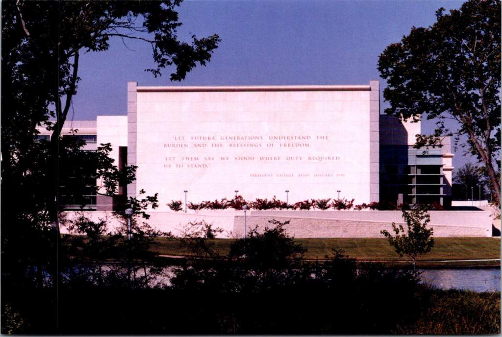
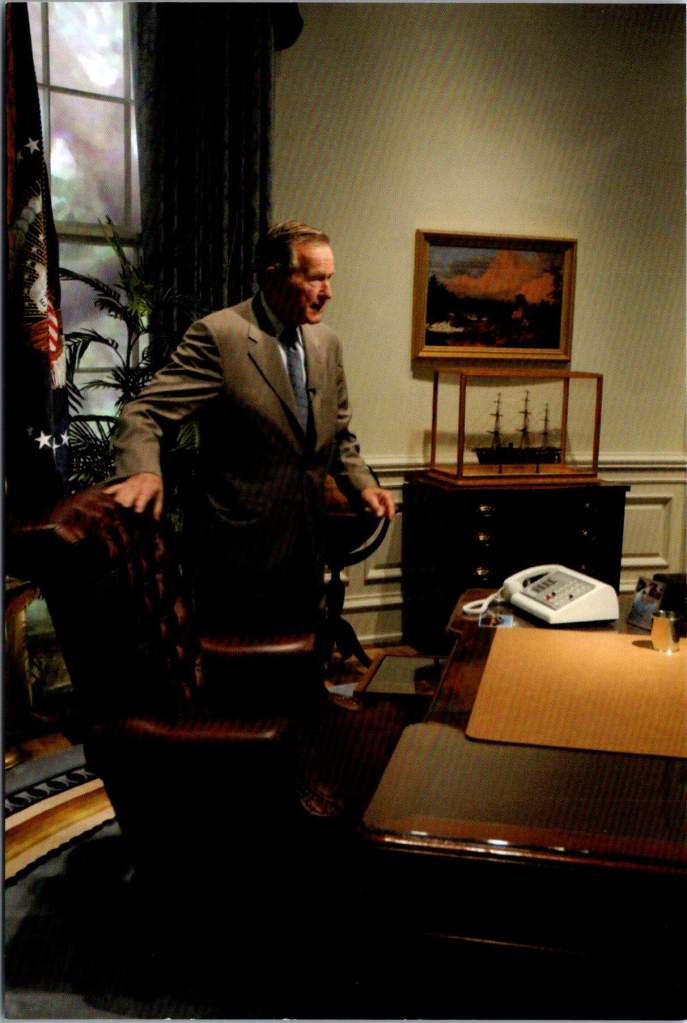
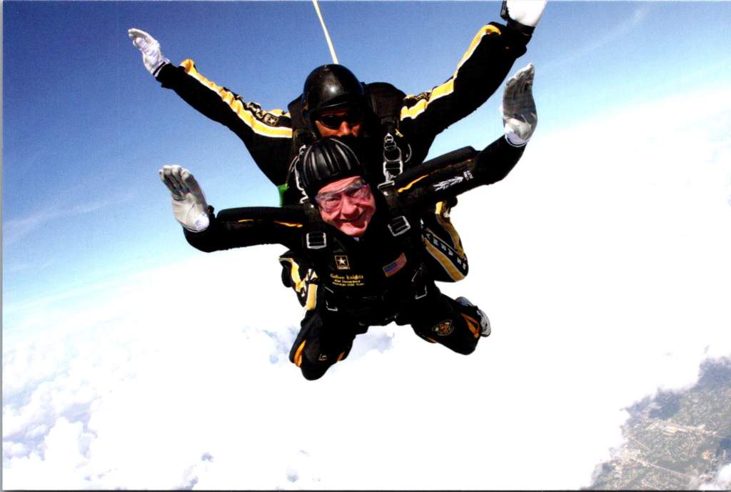
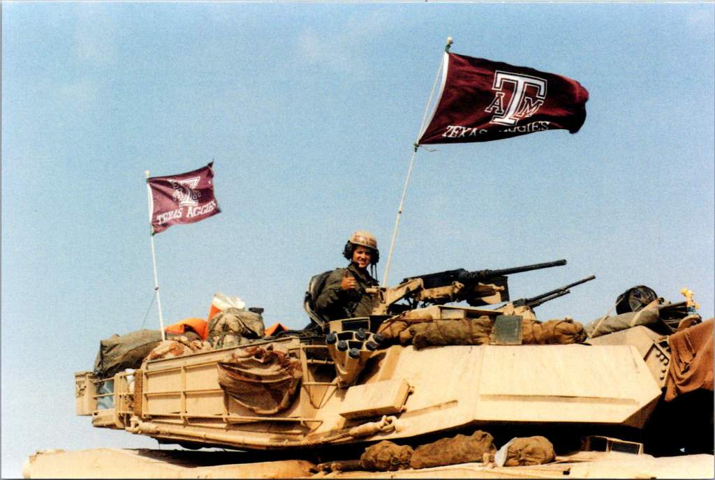
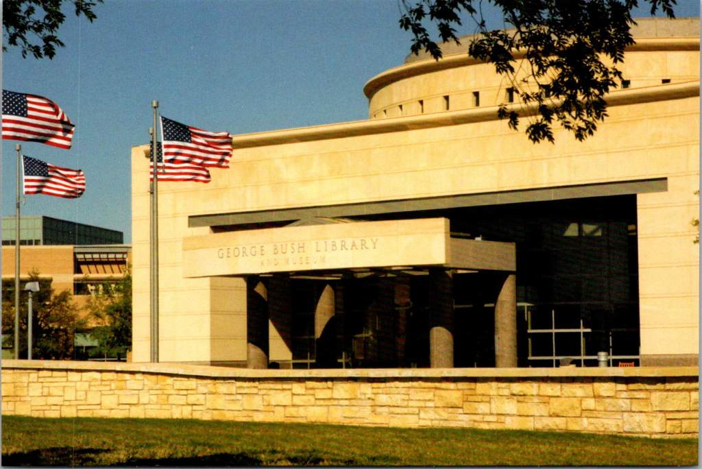
George H. W. Bush – Institutional Security

The George H.W. Bush Library’s postcards emphasize his diplomatic achievements, particularly during the Gulf War. These images often show Bush in military context and related to large institutions. The contrast with Reagan’s more populist imagery is striking – where Reagan is clearly a personality, Bush’s postcards frequently make the man matter less than the magnitude of his role.

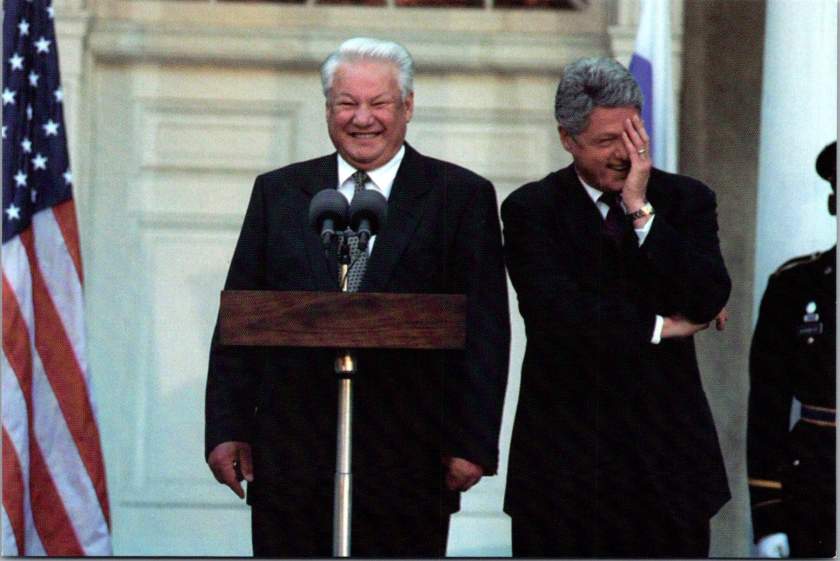
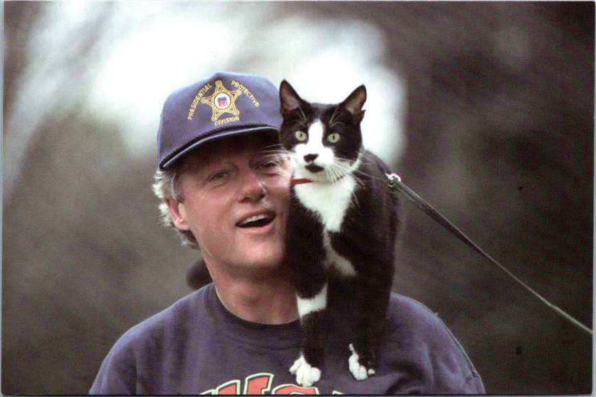
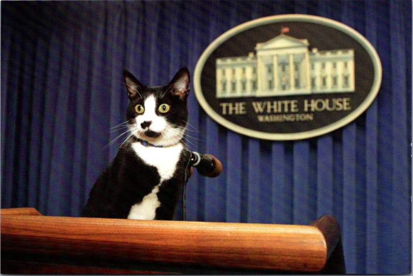
Clinton’s Casual Comport

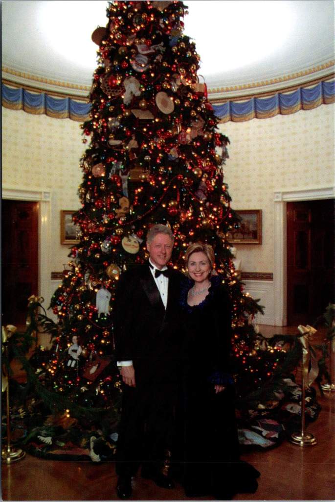
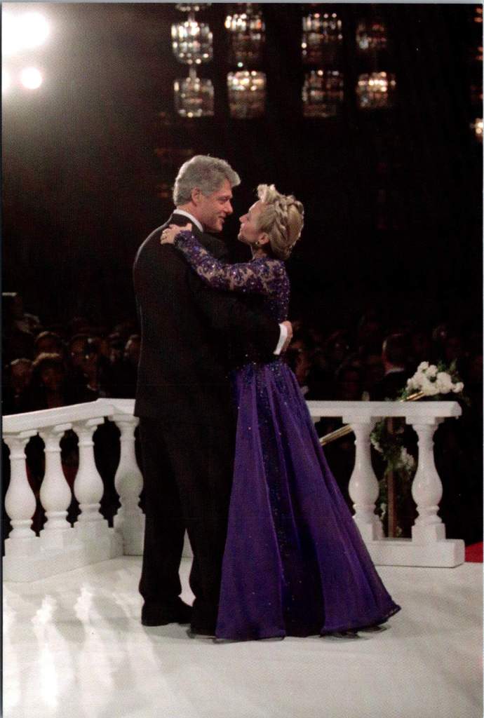
The Clinton Library’s postcard collection breaks new ground in presidential imagery, showing Clinton with his daughter Chelsea, playing with Socks the cat, and capturing his forward-looking optimism in the post-Soviet era. These images demonstrate Clinton’s ability to relate to his constituents in casual terms, mirroring what Reagan had done with conservative principles.

The Persistence of Perspective

What emerges from this look at presidential postcards is the remarkable consistency with which each President projects his image in keeping with his worldview. Whether facing economic crisis, cold war, or civil war, these presidents tended to approach problems through a lens shaped by life circumstances as much as political philosophy. Lincoln’s moral realism helped him navigate both slavery and secession. FDR’s pragmatic experimentalism served him in depression and disability. Reagan’s moral dualism shaped his approach to both domestic policy and Soviet relations.

Yet the postcards reveal the human dimension of leadership, too. Through these small, shared images, Americans see their leaders as both exceptional and relatable. The very format of postcards – democratic, portable, personal – helps bridge the gap between presidential perspective and public understanding.

Presidential Perspective and Democratic Memory

Understanding presidential perspective remains crucial today. How leaders view reality shapes how they define problems, evaluate solutions, and make decisions. The enduring power of postcards lies in their ability to capture and communicate these perspectives in accessible ways.

Presidential postcards serve as more than souvenirs. They are vehicles of democratic memory, helping each generation understand not just what their leaders did, but who they were and how they thought. As we face contemporary challenges, these historical perspectives – preserved and transmitted through humble postcards – offer valuable insights into the relationship between worldview and leadership.

Look closer the next time you are in a museum shop or visitors center. In those mass-produced images lie clues to how our leaders view the world – and how they helped Americans see it too. Perspective is about how we view problems, and also how we view ourselves as a nation and a people.

A Century of Water for the West: Engineering Arizona’s Water Legacy

When photographer Walter J. Lubken documented Roosevelt Dam’s construction in 1906, he captured more than engineering – he preserved the story of how water transformed the American West. See these remarkable images and the ancient and modern legacies they explore.

Deep in the rugged canyons where the Salt River carves through Arizona’s Superstition Mountains, the story of Western water management took shape. This commemorative postcard set, printed in the 2000s, features century-old government documentary photographs that reveal the effort.

The construction of Roosevelt Dam, beginning in 1906, marked not just an engineering milestone but a fundamental shift in how humans would reshape the American West. This massive undertaking would transform both the physical landscape and the social fabric of central Arizona, setting patterns of development that continue to influence the region today.

The logistics of construction proved nearly as challenging as the engineering. Materials had to travel either along the Apache Trail, a 60-mile road from Mesa carved from ancient Indian paths, or via a primitive 40-mile trail from Globe. The isolation of the site forced engineers to think creatively about resource management. They solved the critical cement supply problem by establishing an on-site manufacturing facility, a decision that would save over $460,000 (equivalent to more than $13 million today) while ensuring consistent quality control. The photographs show workers carefully weighing and sacking cement in bags marked “U.S.R.S.,” each bag representing both technical progress and economic pragmatism.

By 1909, the Roosevelt Dam Power House demonstrated another innovative aspect of the project. Housing five 900kW generators and one 5000kW generator, the facility would produce 45,000 kW of electricity by 1912, providing power to Phoenix and surrounding communities. This early integration of water management and power generation established a pattern that would shape the region’s development for decades to come.

The dam site itself presented formidable challenges that would test the limits of early 20th-century engineering. Rising nearly 280 feet from bedrock, Roosevelt Dam required innovative solutions at every stage of construction. Hydraulic drill operators, their equipment visible in historic photographs from the Walter J. Lubken Collection, faced the initial challenge of preparing foundations in solid rock. These drills, powered by compressed air, bored holes for dynamite charges that would help create the dam’s massive footprint. The rhythmic sound of their work echoed through the canyon, marking the beginning of a new era in desert water management.

Downstream from Roosevelt, engineers faced a different challenge at Granite Reef Dam. Here, nature provided a crucial advantage in the form of a natural granite reef crossing the river valley. This geological feature offered an ideal foundation for a diversion structure, but working with the hard granite required specialized techniques. Electric U.S. Reclamation Service trains, captured in the historical photographs, transported heavy equipment and materials along the construction site. The completed structure served as the crucial junction point where Roosevelt Dam’s controlled releases would be divided between the Arizona Canal to the north and the South Canal system.

As water flows west from the Superstition Mountains, it enters an increasingly engineered landscape that reveals the ingenuity of early water managers. Near Apache Junction, the canal system had to navigate complex terrain while maintaining the precise gradients necessary for gravity-fed water delivery. Engineers faced a delicate balancing act: the water needed to drop approximately one foot per mile while following natural contours, a requirement that helped determine the location of many early East Valley communities. These seemingly simple measurements would shape development patterns for generations to come.

In Mesa, the system develops additional complexity as it moves through what was once some of Arizona’s most productive agricultural land. The Mesa Canal, dating from territorial days and improved by the Reclamation Service, demonstrates how engineers adapted existing irrigation works into a modern water delivery system.

Near what is now Mesa Community College, the Western Canal branches off, beginning a complex network of distribution that would support the citrus groves and cotton fields that once dominated the landscape. The concrete control gates, many dating from WPA-era improvements in the 1930s, stand as testament to the system’s durability. Each gate represented a critical control point where trusted zanjeros (ditch riders) could manage water delivery with remarkable precision, despite using what we would now consider primitive technology.

As the water system enters Tempe, it reveals layers of engineering history that mirror the city’s transformation from agricultural community to urban center. The Kyrene agricultural district, served by the Western Canal, demonstrates how early engineers maximized gravity-fed irrigation through careful grading and channel placement. The canal’s gradient had to be precisely maintained while following natural contours that would allow for efficient water delivery to agricultural fields. Complex control structures, still visible today near major arterial streets, could be adjusted to deliver specific amounts of water into lateral ditches. These laterals, running north-south at roughly quarter-mile intervals, created the framework that would later influence urban development patterns.

The post-war boom of the 1950s and ’60s presented Tempe’s engineers with a new challenge: how to adapt an agricultural water delivery system for urban use while preserving valuable water rights. Under Arizona water law, rights could be lost if water wasn’t being put to “beneficial use.” This legal framework drove many engineering decisions during the transition period, leading to creative solutions that would shape the modern landscape.

The 1961 development of the Shalimar Golf Course, located between McClintock and Price Roads and between Broadway and Southern, exemplifies the engineering solutions of this era. The course’s design worked within the existing irrigation framework, utilizing lateral ditches that had previously served agricultural fields. The layout preserved the crucial north-south water delivery patterns while adapting them for recreational use.

The late twentieth century brought new approaches to water management that would have amazed the early USRS engineers. At Arizona Falls, located at 56th Street and Indian School Road, modern engineers found a way to honor historical infrastructure while adding contemporary functionality. The site’s 20-foot drop in the Arizona Canal had once powered ice production in the 1890s, helping early Phoenix residents cope with desert summers. Today, this same drop has been transformed into both public art installation and hydroelectric facility, with specially designed turbines that can operate efficiently despite varying water levels. The project demonstrates how historical water infrastructure can be reimagined to serve modern needs while preserving connections to the past.

Perhaps no modern project better exemplifies creative water engineering than Scottsdale’s Indian Bend Wash. This 11-mile greenbelt fundamentally changed how engineers approach flood control in urban areas. Instead of constructing traditional concrete channels that rush water away as quickly as possible, engineers designed a system that mimics natural watershed functions while providing recreational space. The engineering may appear simple to casual observers, but it represents sophisticated water management. Graduated slopes slow flood waters naturally, while carefully calculated retention areas hold excess water until it can safely drain or percolate into the groundwater. At other times, these same spaces serve as golf courses, parks, and bike paths, making the infrastructure an integral part of community life.

The creation of Tempe Town Lake in the 1990s marked perhaps the most ambitious modern reengineering of the Valley’s water infrastructure. Engineers faced multiple complex challenges: maintaining water quality in an artificial lake subject to intense desert sun, managing sediment that once flowed freely down the Salt River, and creating a system that could handle both regular flows and occasional floods. The innovative rubber dam system, recently replaced with hydraulically operated steel gates, had to maintain a consistent lake level while allowing for flood releases during major storm events. What appears on the surface as a simple recreational amenity actually represents one of the most complex water management systems in the Southwest.

The Valley’s own golf courses have evolved from simple users of flood irrigation to pioneers in water conservation technology. Early courses relied on traditional flooding methods inherited from agriculture, and modern facilities employ sophisticated systems that can adjust water delivery down to individual sprinkler heads. Courses along the Western Canal system, such as Dobson Ranch in Mesa, now integrate stormwater capture, irrigation storage, and groundwater recharge into their operations. Their water hazards serve double duty as holding ponds in an intricate water management system that would have seemed like science fiction to the early zanjeros.

Today’s systems employ real-time monitoring technology, allowing operators to adjust water flows remotely in response to changing demands and weather conditions. Computer-controlled irrigation systems at golf courses and parks use weather data, soil moisture sensors, and evapotranspiration calculations to deliver precisely the right amount of water at the right time. These innovations grew from decades of experience managing water in an arid environment, building upon the foundation laid by those early infrastructure projects.

When Walter J. Lubken raised his camera to photograph construction at Roosevelt Dam, he was documenting more than just a construction project. His photographs captured the transformation of the American West from a challenging frontier to a managed landscape. The Bureau of Reclamation’s commitment to thorough photographic documentation served multiple purposes. Engineers could use the images to track construction progress and solve problems. Administrators in Washington could monitor their investment in distant territories. Sheep grazing along canal banks shows how engineers creatively solved maintenance problems while supporting local agriculture. Perhaps most importantly, these photographs reveal important historical details of how federal infrastructure projects were reshaping the American landscape.

These photographs remind us that water management is ultimately about people: the workers who built the systems, the farmers who used them, and the communities that grew around them. The photo of early canals being excavated by horse and manual labor provides striking contrast with modern construction methods. These historical documents help us understand both how far we’ve come and how much we owe to early innovation.

The Bureau’s decision to commemorate these images in a 2002 postcard set invites us to consider how past engineering decisions continue to shape our present. Every canal, dam, and pipeline represents decisions made by people trying to build better communities. As we face modern challenges like climate change and population growth, these historical images encourage us to think both critically and creatively about water management.

Today’s water managers are creating their own documentation for future generations to study. Digital sensors transmit continuous data about water flow, quality, and usage. Satellite imagery tracks changes in groundwater levels and vegetation patterns. Modern projects like Tempe Town Lake and the Indian Bend Wash are extensively documented not just in photographs but in environmental impact studies, engineering plans, and public meeting records. This documentation will help future generations understand both our achievements and our challenges.

Today’s innovations – whether in golf course irrigation, urban stream restoration, or water recycling – are part of a continuing story of human ingenuity in the face of environmental challenges. Our task is to document our work, both our successes and our mistakes. What will they learn from examining our current water management projects? Perhaps they’ll examine how golf courses became laboratories for water conservation technology.

Like our predecessors, we are trying to balance human needs with environmental stewardship, technological capability with sustainable practice, and individual interests with community benefit. This long view of history reminds us that infrastructure is not just about providing resources today – it’s about designing our desert futures a century from now.