Circling Around the Sacred

The circle is a shape and a solution. From the sun above to the atoms within, circular patterns hold sacred secrets for ourselves and society.

From the moment our ancestors gathered around campfires beneath the star-studded night sky, humanity has been captivated by circular forms. The sun and moon—those perfect celestial orbs—have guided our understanding of cycles, seasons, and the sacred geometries that shape our world. As our globe tilts and rotates through space, we return to the circle as a fundamental pattern, a shape that speaks to scientific understanding and spiritual intuition.

In nature, the circle demonstrates efficiency and strength. Consider the heliotropic motion of sunflowers, their faces tracking the sun across the sky, their seeds arranged in perfect spiral patterns. Deep within the earth’s core, circular motions generate magnetic fields, while occasional tremors ripple outward in concentric circles. At a microscopic level, the nucleus of each atom forms a dense center of energy, the foundation of nuclear physics and our modern understanding of matter itself.

Concentric Wisdom

Ancient cultures recognized the power of circular design. From the stone circles of Stonehenge to the round houses of indigenous peoples, circular architecture created spaces of communion and protection. These structures weren’t merely aesthetic choices—they were sophisticated responses to environmental forces, creating natural ventilation patterns and distributing structural loads evenly.

The Native American medicine wheel, the Buddhist mandala, and the Celtic spiral all speak to the circle’s role as an energy symbol, representing wholeness, unity, and the cyclical nature of existence, much like a gyroscope maintains stability through rotation.

Circular Scenes

Circular thinking extends to human organizations, too. Consider how people naturally gather in circles: from tribal councils to corporate roundtables, from community drum circles to academic seminar rooms. Social movements often begin with small circles of concerned citizens, expanding outward based on overlapping interests of place and purpose.

Underground music scenes, grassroots political groups, and mutual aid networks typically organize in decentralized circles, creating resilient structures that adapt and grow organically. Even in our digital age, social media platforms mimic circular patterns through circles of friends, spheres of influence, and interconnected networks.

Circles show up in team dynamics as well. Agile practitioners us “scrum circles” for project management, while “quality circles” in manufacturing bring workers together to solve problems collectively. Innovation hubs create intentional “innovation ecosystems” where ideas flow freely between participants who share offices, labs, and studios.

Circular principles also apply to how we organize our economic and social systems. The concept of a circular economy has emerged as a revolutionary approach to addressing environmental conservation. Unlike the traditional “take-make-waste” linear model, circular economics mirrors natural cycles where waste becomes a resource. In this system, products are designed for durability and reuse, materials flow in closed loops, and regenerative practices restore natural capital.

Architects like Frank Lloyd Wright incorporated organic architecture principles that emphasized circular and spiral forms. These structures don’t simply mimic nature; they function in harmony with it.

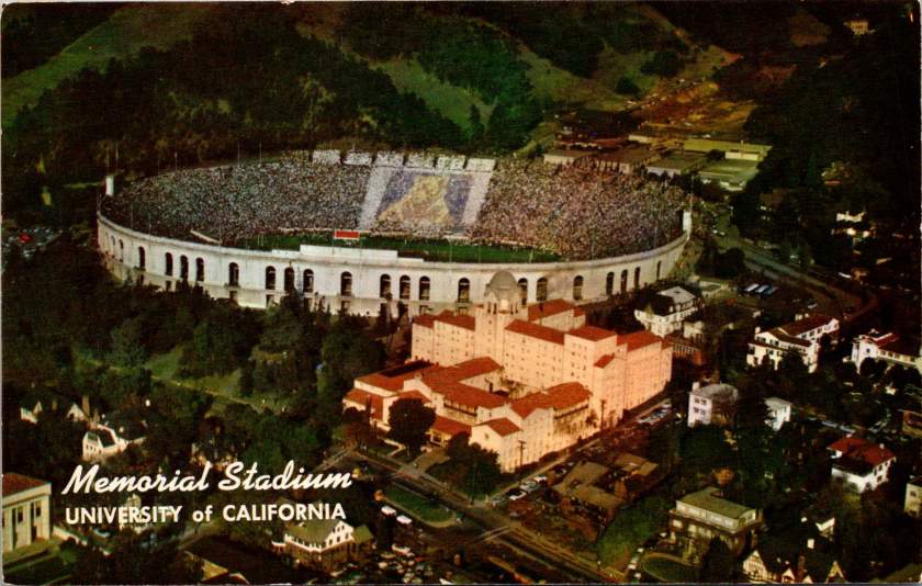
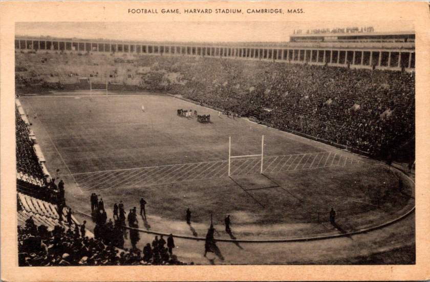
Civic design includes circular plazas, amphitheaters, and communal spaces that facilitate the natural human tendency to gather in rounds. These spaces often feature concentric circles of activity, from intimate inner gathering spaces to broader outer rings that welcome larger communities. Cities are networks of interconnected circular communities, each with its own center of gravity yet linked in ways that promote both local identity and broader urban cohesion.

Transit Circuits

Some neighborhoods are connected by circular transit systems—light rail loops that mirror (or transgress) the patterns of previous generations. These transportation networks are themselves powered by intricate electronics—microchip circuits that echo the larger orbital patterns they coordinate, ensuring trains run right on time.

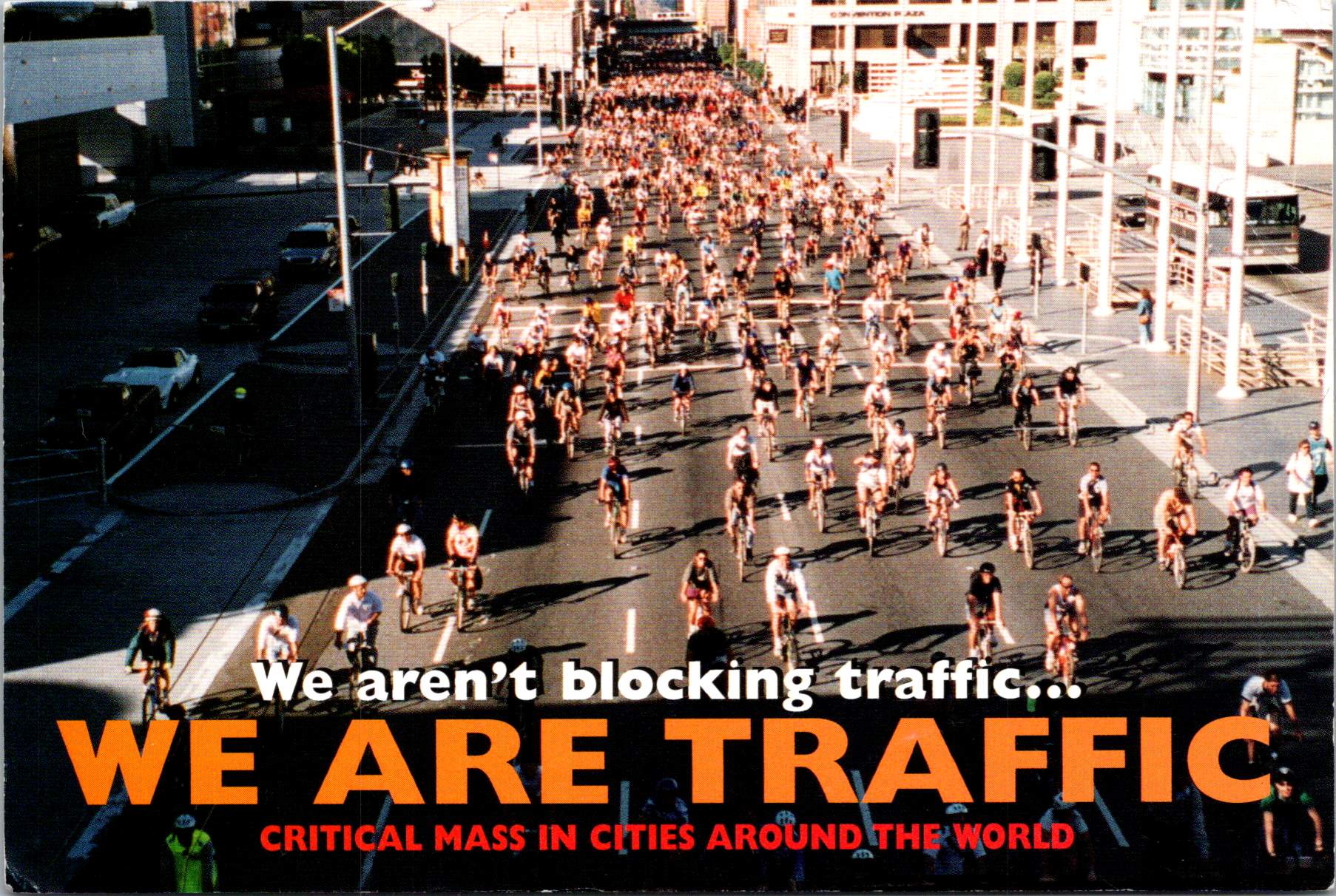
The elegance of circular transportation extends beyond mechanized transit. Cities worldwide are rediscovering the bicycle—perhaps humanity’s most successful application of circular geometry to movement. Its wheels, gears, and chain drives demonstrate how nested circular systems amplify human power while minimizing energy loss. Bike-sharing programs create their own circular economies of movement, their docking stations arranged in rings throughout urban cores. These human-scaled transit networks reduce carbon emissions while strengthening community connections.

Digital Circles Take on Real Challenges


Digital platforms are evolving beyond simple virtual meeting rooms into immersive spaces that address pressing social challenges. Virtual and augmented reality technologies allow for mixed-reality circles where local communities can visualize, plan, and implement solutions to social issues in real time. For instance, AR overlays can reveal hidden resources within a community—from unused spaces for urban farming to underutilized buildings that could provide shelter. These technologies enable communities to map food deserts, build on existing distribution networks, and coordinate mutual aid efforts with greater precision than ever before.

The power of these tools lies in their ability to make needs and resources visible to more groups, and in greater visual detail. VR environments allow stakeholders to experience and refine potential solutions before implementation, while AR applications help coordinate real-world action. For example, some cities are experimenting with AR-enabled resource rings that connect those with excess (food, supplies, space) to those with needs and uses through intuitive visual interfaces. These systems help transform abstract social challenges into tangible solutions at the neighborhood level.

What makes these digital circles particularly powerful is their ability to collapse the distance between awareness and action. When a community sees problems and potential solutions mapped in their shared space, it becomes easier to make connections, mobilize resources, and coordinate responses. These tools don’t solve social challenges on their own, but they provide communities with powerful new ways to see, understand, and address local needs through coordinated circular action.

Full Circle Round Again

The circle’s power to unite and connect is perhaps best illustrated in the simple Venn diagram, where overlapping spheres reveal relationships and shared qualities. This mathematical tool reflects a deeper truth: that circles have the unique ability to represent both unity and multiplicity, the one and the many. Whether we look to the perfect geometry of a soap bubble, the ripples from a stone dropped in still water, or the orbits of electrons around their atomic center, we find that circular form and motion are fundamental to the universe’s operation.

As we face global challenges that require holistic thinking and unified action, the circle offers wisdom accumulated over millennia. It reminds us that everything is connected, that endings lead to beginnings, and that the most sustainable solutions often mirror the patterns we find in nature.

In embracing circular thinking and design, we honor both our ancestral wisdom and our future potential. The sky and wind above is a powerful reminder of the warm glow and flow inside. Turning (and churning) teaches us about the true nature of our universe and our place within it. The sacred sun and moon continue their ancient dance across the sky, inviting us to see ourselves as part of this grand design—not just observers of it, but active participants in its unfolding story.

A Century of Water for the West: Engineering Arizona’s Water Legacy

When photographer Walter J. Lubken documented Roosevelt Dam’s construction in 1906, he captured more than engineering – he preserved the story of how water transformed the American West. See these remarkable images and the ancient and modern legacies they explore.

Deep in the rugged canyons where the Salt River carves through Arizona’s Superstition Mountains, the story of Western water management took shape. This commemorative postcard set, printed in the 2000s, features century-old government documentary photographs that reveal the effort.

The construction of Roosevelt Dam, beginning in 1906, marked not just an engineering milestone but a fundamental shift in how humans would reshape the American West. This massive undertaking would transform both the physical landscape and the social fabric of central Arizona, setting patterns of development that continue to influence the region today.

The logistics of construction proved nearly as challenging as the engineering. Materials had to travel either along the Apache Trail, a 60-mile road from Mesa carved from ancient Indian paths, or via a primitive 40-mile trail from Globe. The isolation of the site forced engineers to think creatively about resource management. They solved the critical cement supply problem by establishing an on-site manufacturing facility, a decision that would save over $460,000 (equivalent to more than $13 million today) while ensuring consistent quality control. The photographs show workers carefully weighing and sacking cement in bags marked “U.S.R.S.,” each bag representing both technical progress and economic pragmatism.

By 1909, the Roosevelt Dam Power House demonstrated another innovative aspect of the project. Housing five 900kW generators and one 5000kW generator, the facility would produce 45,000 kW of electricity by 1912, providing power to Phoenix and surrounding communities. This early integration of water management and power generation established a pattern that would shape the region’s development for decades to come.

The dam site itself presented formidable challenges that would test the limits of early 20th-century engineering. Rising nearly 280 feet from bedrock, Roosevelt Dam required innovative solutions at every stage of construction. Hydraulic drill operators, their equipment visible in historic photographs from the Walter J. Lubken Collection, faced the initial challenge of preparing foundations in solid rock. These drills, powered by compressed air, bored holes for dynamite charges that would help create the dam’s massive footprint. The rhythmic sound of their work echoed through the canyon, marking the beginning of a new era in desert water management.

Downstream from Roosevelt, engineers faced a different challenge at Granite Reef Dam. Here, nature provided a crucial advantage in the form of a natural granite reef crossing the river valley. This geological feature offered an ideal foundation for a diversion structure, but working with the hard granite required specialized techniques. Electric U.S. Reclamation Service trains, captured in the historical photographs, transported heavy equipment and materials along the construction site. The completed structure served as the crucial junction point where Roosevelt Dam’s controlled releases would be divided between the Arizona Canal to the north and the South Canal system.

As water flows west from the Superstition Mountains, it enters an increasingly engineered landscape that reveals the ingenuity of early water managers. Near Apache Junction, the canal system had to navigate complex terrain while maintaining the precise gradients necessary for gravity-fed water delivery. Engineers faced a delicate balancing act: the water needed to drop approximately one foot per mile while following natural contours, a requirement that helped determine the location of many early East Valley communities. These seemingly simple measurements would shape development patterns for generations to come.

In Mesa, the system develops additional complexity as it moves through what was once some of Arizona’s most productive agricultural land. The Mesa Canal, dating from territorial days and improved by the Reclamation Service, demonstrates how engineers adapted existing irrigation works into a modern water delivery system.

Near what is now Mesa Community College, the Western Canal branches off, beginning a complex network of distribution that would support the citrus groves and cotton fields that once dominated the landscape. The concrete control gates, many dating from WPA-era improvements in the 1930s, stand as testament to the system’s durability. Each gate represented a critical control point where trusted zanjeros (ditch riders) could manage water delivery with remarkable precision, despite using what we would now consider primitive technology.

As the water system enters Tempe, it reveals layers of engineering history that mirror the city’s transformation from agricultural community to urban center. The Kyrene agricultural district, served by the Western Canal, demonstrates how early engineers maximized gravity-fed irrigation through careful grading and channel placement. The canal’s gradient had to be precisely maintained while following natural contours that would allow for efficient water delivery to agricultural fields. Complex control structures, still visible today near major arterial streets, could be adjusted to deliver specific amounts of water into lateral ditches. These laterals, running north-south at roughly quarter-mile intervals, created the framework that would later influence urban development patterns.

The post-war boom of the 1950s and ’60s presented Tempe’s engineers with a new challenge: how to adapt an agricultural water delivery system for urban use while preserving valuable water rights. Under Arizona water law, rights could be lost if water wasn’t being put to “beneficial use.” This legal framework drove many engineering decisions during the transition period, leading to creative solutions that would shape the modern landscape.

The 1961 development of the Shalimar Golf Course, located between McClintock and Price Roads and between Broadway and Southern, exemplifies the engineering solutions of this era. The course’s design worked within the existing irrigation framework, utilizing lateral ditches that had previously served agricultural fields. The layout preserved the crucial north-south water delivery patterns while adapting them for recreational use.

The late twentieth century brought new approaches to water management that would have amazed the early USRS engineers. At Arizona Falls, located at 56th Street and Indian School Road, modern engineers found a way to honor historical infrastructure while adding contemporary functionality. The site’s 20-foot drop in the Arizona Canal had once powered ice production in the 1890s, helping early Phoenix residents cope with desert summers. Today, this same drop has been transformed into both public art installation and hydroelectric facility, with specially designed turbines that can operate efficiently despite varying water levels. The project demonstrates how historical water infrastructure can be reimagined to serve modern needs while preserving connections to the past.

Perhaps no modern project better exemplifies creative water engineering than Scottsdale’s Indian Bend Wash. This 11-mile greenbelt fundamentally changed how engineers approach flood control in urban areas. Instead of constructing traditional concrete channels that rush water away as quickly as possible, engineers designed a system that mimics natural watershed functions while providing recreational space. The engineering may appear simple to casual observers, but it represents sophisticated water management. Graduated slopes slow flood waters naturally, while carefully calculated retention areas hold excess water until it can safely drain or percolate into the groundwater. At other times, these same spaces serve as golf courses, parks, and bike paths, making the infrastructure an integral part of community life.

The creation of Tempe Town Lake in the 1990s marked perhaps the most ambitious modern reengineering of the Valley’s water infrastructure. Engineers faced multiple complex challenges: maintaining water quality in an artificial lake subject to intense desert sun, managing sediment that once flowed freely down the Salt River, and creating a system that could handle both regular flows and occasional floods. The innovative rubber dam system, recently replaced with hydraulically operated steel gates, had to maintain a consistent lake level while allowing for flood releases during major storm events. What appears on the surface as a simple recreational amenity actually represents one of the most complex water management systems in the Southwest.

The Valley’s own golf courses have evolved from simple users of flood irrigation to pioneers in water conservation technology. Early courses relied on traditional flooding methods inherited from agriculture, and modern facilities employ sophisticated systems that can adjust water delivery down to individual sprinkler heads. Courses along the Western Canal system, such as Dobson Ranch in Mesa, now integrate stormwater capture, irrigation storage, and groundwater recharge into their operations. Their water hazards serve double duty as holding ponds in an intricate water management system that would have seemed like science fiction to the early zanjeros.

Today’s systems employ real-time monitoring technology, allowing operators to adjust water flows remotely in response to changing demands and weather conditions. Computer-controlled irrigation systems at golf courses and parks use weather data, soil moisture sensors, and evapotranspiration calculations to deliver precisely the right amount of water at the right time. These innovations grew from decades of experience managing water in an arid environment, building upon the foundation laid by those early infrastructure projects.

When Walter J. Lubken raised his camera to photograph construction at Roosevelt Dam, he was documenting more than just a construction project. His photographs captured the transformation of the American West from a challenging frontier to a managed landscape. The Bureau of Reclamation’s commitment to thorough photographic documentation served multiple purposes. Engineers could use the images to track construction progress and solve problems. Administrators in Washington could monitor their investment in distant territories. Sheep grazing along canal banks shows how engineers creatively solved maintenance problems while supporting local agriculture. Perhaps most importantly, these photographs reveal important historical details of how federal infrastructure projects were reshaping the American landscape.

These photographs remind us that water management is ultimately about people: the workers who built the systems, the farmers who used them, and the communities that grew around them. The photo of early canals being excavated by horse and manual labor provides striking contrast with modern construction methods. These historical documents help us understand both how far we’ve come and how much we owe to early innovation.

The Bureau’s decision to commemorate these images in a 2002 postcard set invites us to consider how past engineering decisions continue to shape our present. Every canal, dam, and pipeline represents decisions made by people trying to build better communities. As we face modern challenges like climate change and population growth, these historical images encourage us to think both critically and creatively about water management.

Today’s water managers are creating their own documentation for future generations to study. Digital sensors transmit continuous data about water flow, quality, and usage. Satellite imagery tracks changes in groundwater levels and vegetation patterns. Modern projects like Tempe Town Lake and the Indian Bend Wash are extensively documented not just in photographs but in environmental impact studies, engineering plans, and public meeting records. This documentation will help future generations understand both our achievements and our challenges.

Today’s innovations – whether in golf course irrigation, urban stream restoration, or water recycling – are part of a continuing story of human ingenuity in the face of environmental challenges. Our task is to document our work, both our successes and our mistakes. What will they learn from examining our current water management projects? Perhaps they’ll examine how golf courses became laboratories for water conservation technology.

Like our predecessors, we are trying to balance human needs with environmental stewardship, technological capability with sustainable practice, and individual interests with community benefit. This long view of history reminds us that infrastructure is not just about providing resources today – it’s about designing our desert futures a century from now.